|
RoboGEO Project files contain all of the information associated with the currently loaded images and location data. Saving and loading them allows you to work on a set of images in multiple sessions.
Project files are also useful for reviewing the files that are associated with the images.
Project files are plain ASCII text and have a RGW file extension. Records are delimited with a carriage return line feed combination and fields are delimited with a linefeed. The first field in each record, which is a single letter, denotes the type of record. 'V' stands for RoboGEO version, 'I' for image and 'T' for trackpoint. The format of each numeric and date field is per the computer's Regional Settings. If you attempt to open a project file that was created on a computer that used different regional settings, the loading may fail with an 'Overflow' error message. Overflow error messages can also happen when there's missing data.
If you save a project file and then subsequently move the associated images to a different location on your computer, you'll receive an error when you try to reload it. RoboGEO does not store the actual image data in the project file - just the file path.
The installation program automatically associates the .RGW file extention with the RoboGEO application.
You can automatically load project files by specifying the path as a command line parameter.
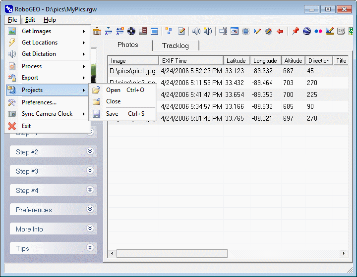
Open an existing project file. If there's data currently loaded, you'll be prompted whether to remove it before loading the new file. If you don't remove it, the project file data will be appended to the current data.
If you load a project file that was created with RoboGEO v5.0.7 or earlier, you'll be prompted whether to convert it to the current format.
Project files can also be passed on the RoboGEO.exe command line or dragged/dropped onto the main grid.
This closes the current project file. You'll be prompted to save it if changes have been made.
Save the current project file or create a new one from the existing data.
|